Case studyLand development · Stewart County, TN
Rustic Pines at Paris Landing
A 495-acre wooded development with 41 homesites needed buyers to understand the land — the slopes, the views, where each lot sits — before they ever drive out to see it.
The challenge
Raw land is hard to sell online. Plat maps and acreage numbers don't show a buyer how steep a lot is, what it looks out over or how it sits next to its neighbors.
The approach
We modeled the whole property in 3D from USGS lidar terrain, county parcel lines and aerial imagery, then built it into an interactive map buyers can spin, tilt and zoom — with every lot clickable and rendered as its own 3D model.
The result
Buyers can walk all 41 lots from their couch, compare price, acreage and elevation, and ask about a lot in one tap — the website does the first site visit.
What we built
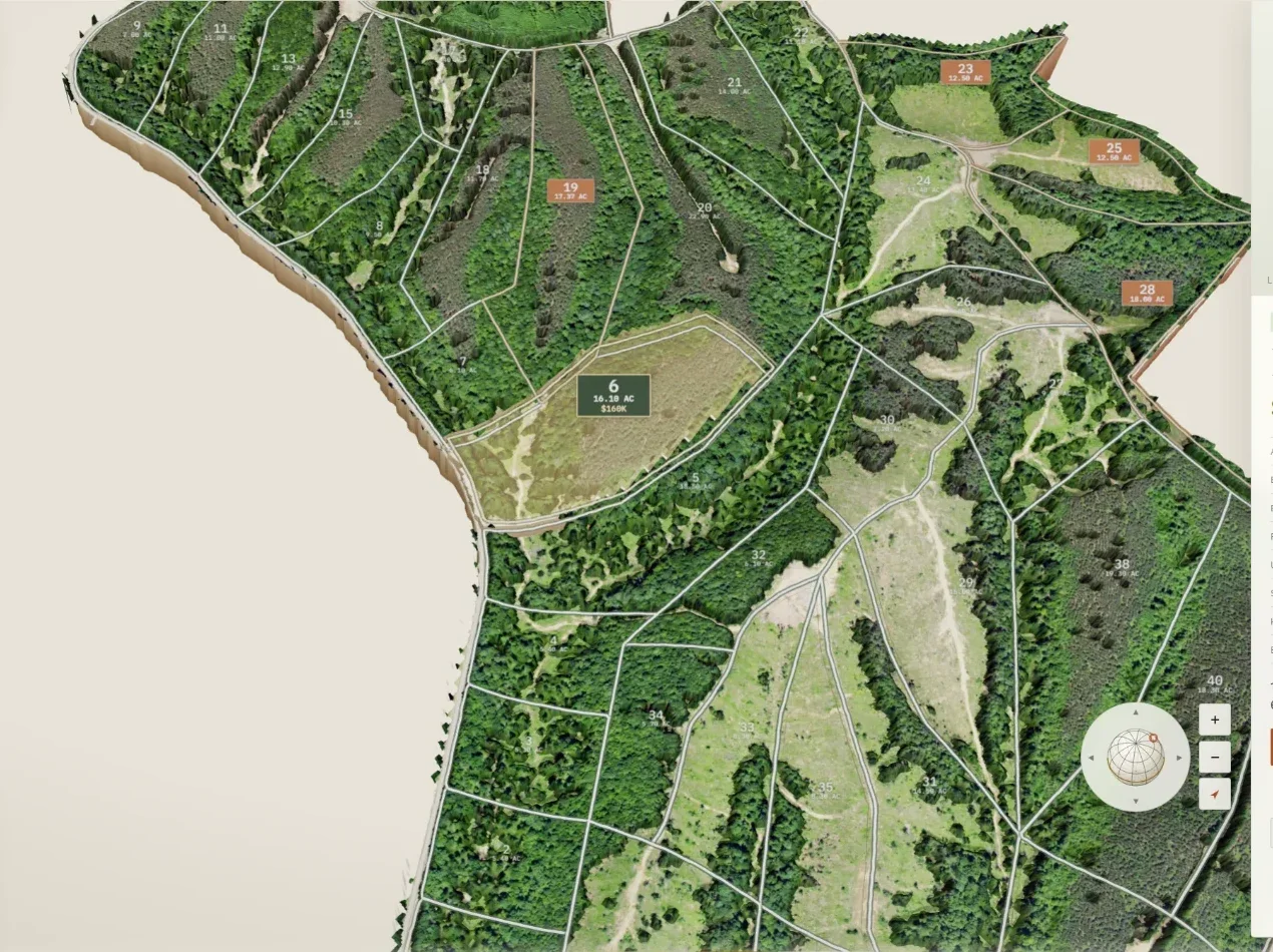
Interactive 3D terrainAll 495 acres built from USGS 3DEP lidar and draped with aerial imagery — spin, tilt and zoom right in the browser.
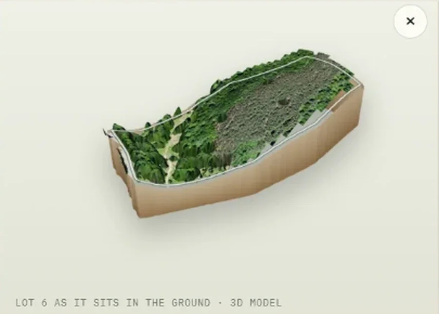
A 3D model of every lotEach homesite is cut out of the terrain as its own model, so buyers see the lot exactly as it sits in the ground.
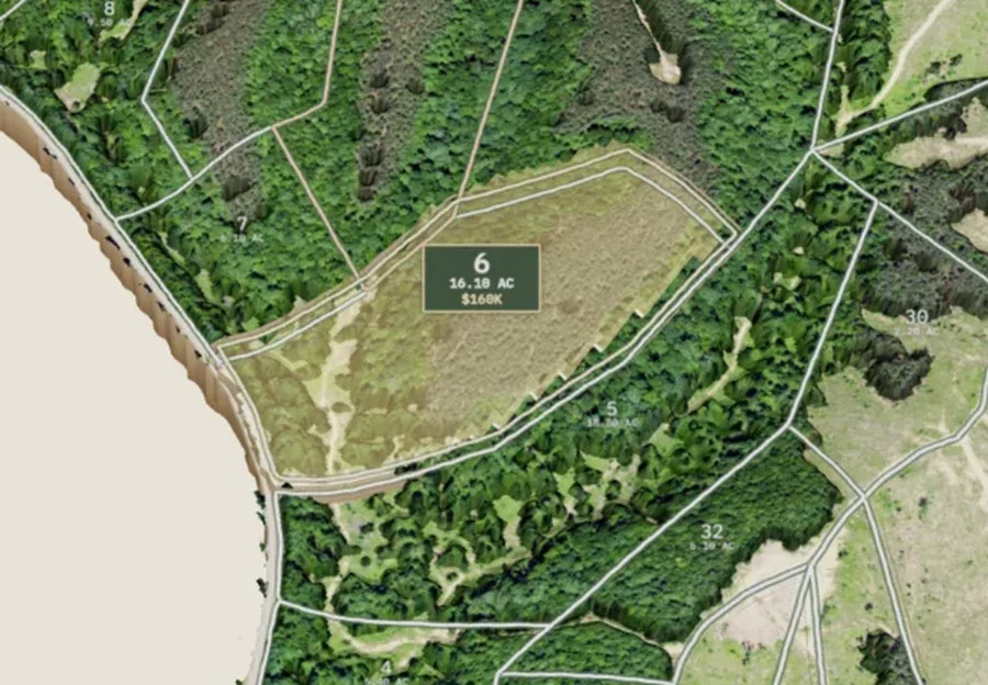
Tap a lot, get the factsSelect any lot on the map for price, acreage, elevation change, road frontage, utilities and septic at a glance.
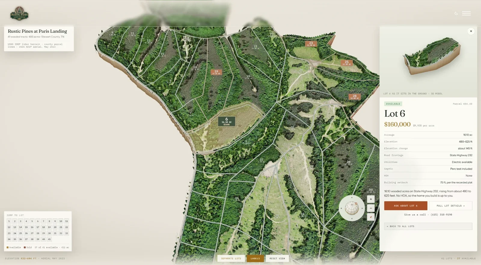
Live availabilityAvailable and sold lots are color-coded from one data file, with a jump-to-lot grid and a page for all 41 lots.
Want one like this?
Builds start at $2,500 · care plans from $150/mo